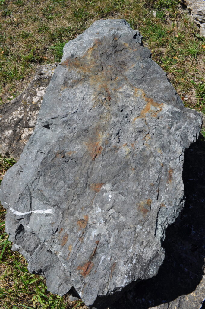
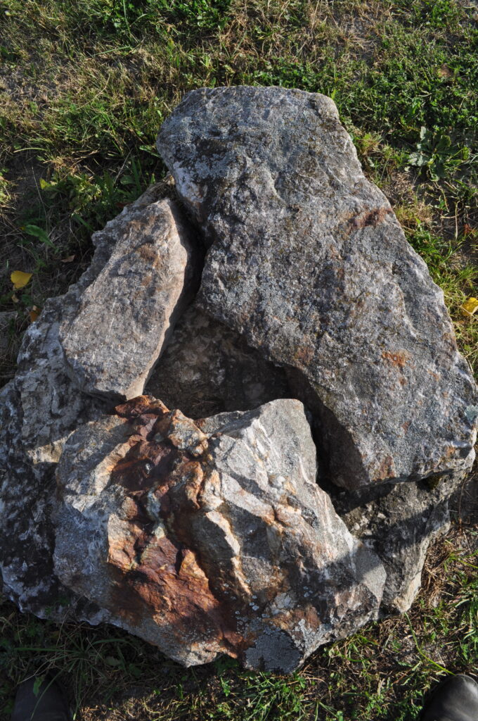
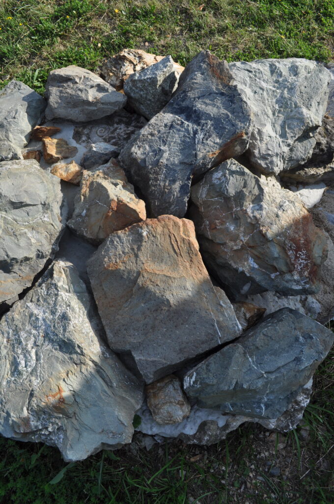
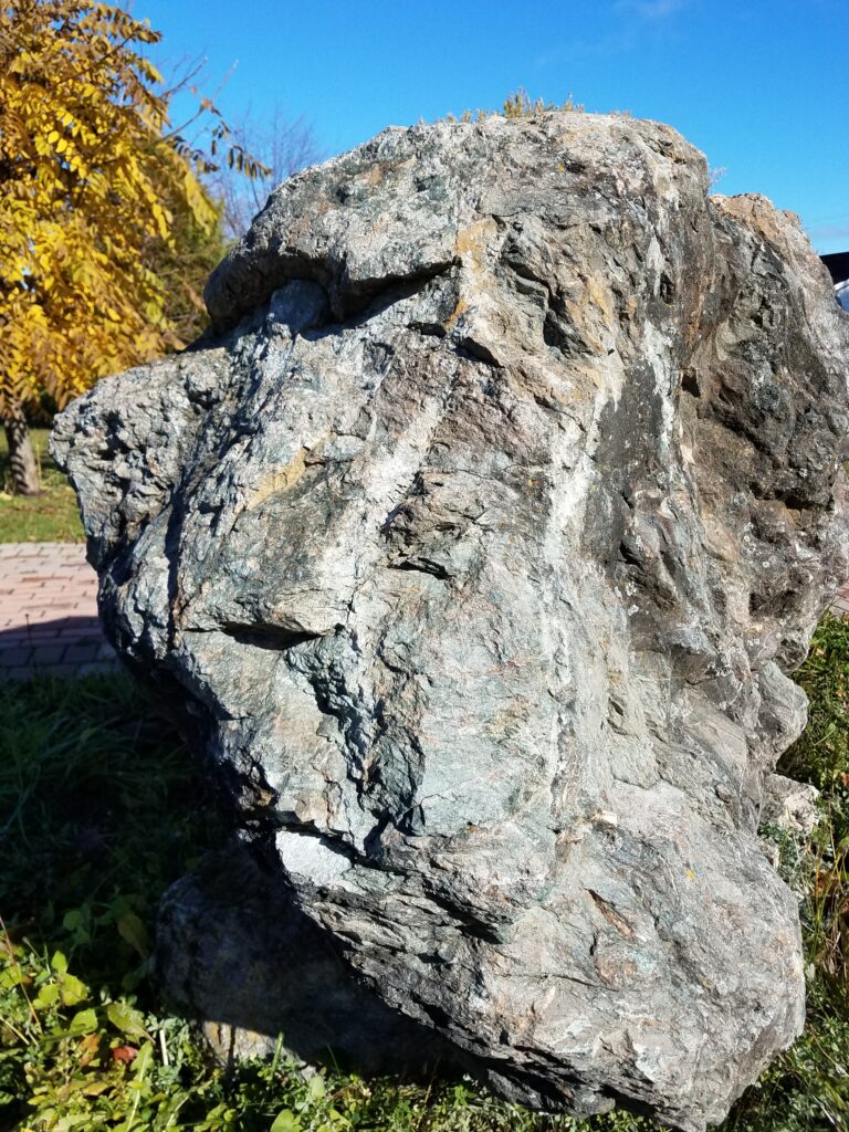
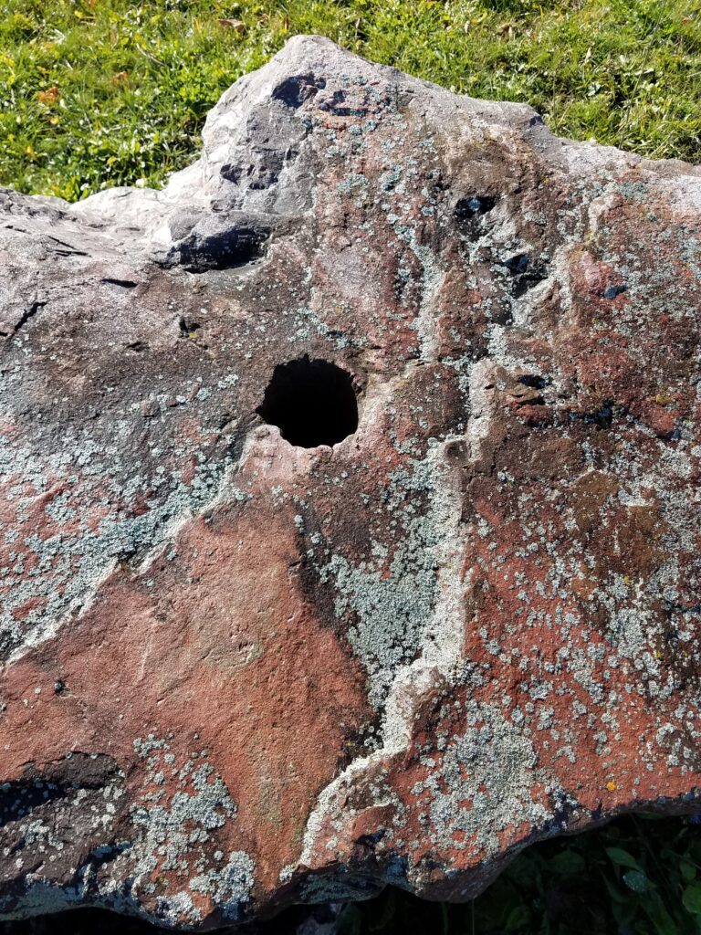
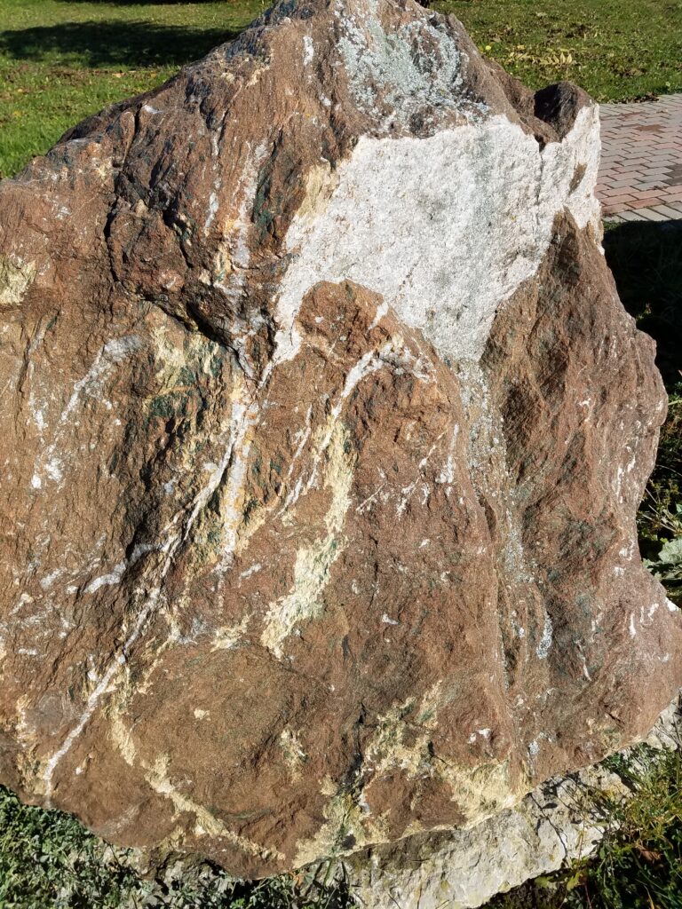
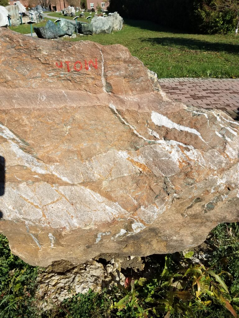
The samples along this Tour Pathway are mainly samples of gold ore, all of Precambrian age. This is a good place to see the variety of rock types that host such ores, as well as to illustrate how difficult it is to find visible gold. Much of the gold contained in these ores is locked up with the pyrite mineralisation, commonly as minute grains along tiny fractures in the pyrite crystals. All of the gold exhibits are listed as a “Metallic Ore” followed by the number ‘1’ (‘MO#1’).
This tour begins at the South East entrance to RockWalk Park, located at the corner of Latchford and Probyn streets in the Haileybury portion of Temiskaming Shores.
MO#1A
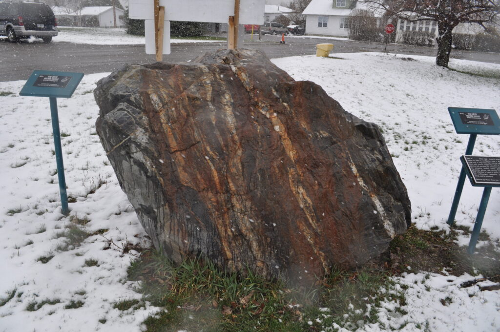
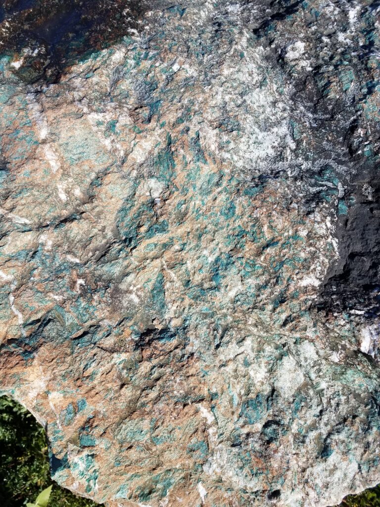
This is a sample of gold ore from the Detour Mine, located northeast of Cochrane, Ontario. The original open pit/underground mine, from which this sample was taken, was operated between 1983 and 1999 by Placer Dome. The principal host ‘gangue’ material is in the form of white quartz veins. Due to the amount of pyrite (iron sulphide) contained here, the sample has been partly covered with a special coating, and you will note that this is true for many other samples in the Park. The coating is to reduce the oxidation and deterioration of the iron, and thus prevent the sample from eventually falling apart. As of 2020, Kirkland Lake Gold has developed Canada’s 2 nd largest gold mine at Detour Lake, with potentially the largest gold reserves. The current orebody has much less sulphides than the original. For internet pictures and videos, seek: DETOUR LAKE MINE
MO#1B
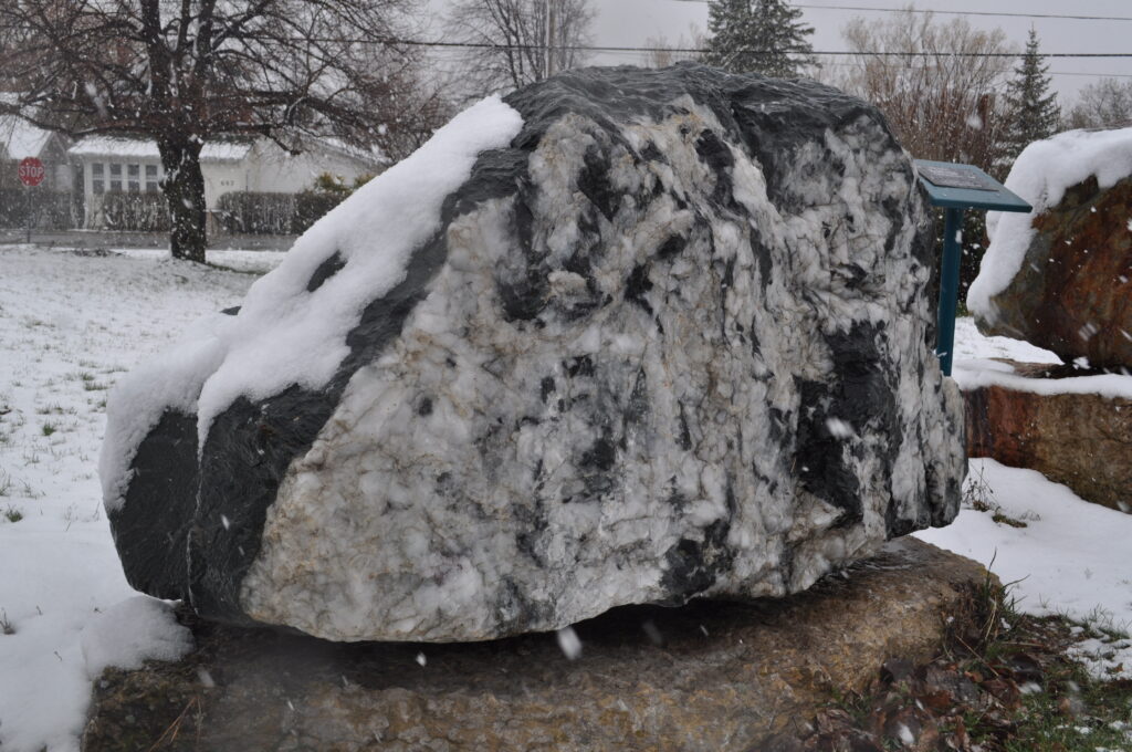
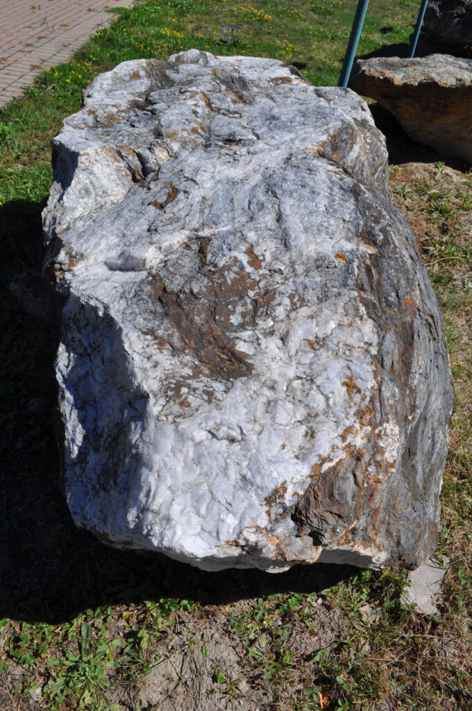
This is another sample in which white quartz veins are host to gold mineralisation. This one comes from the Dome Mine in South Porcupine, Ontario – a deposit that was among the “Big Three” that essentially founded the Timmins camp in the early 1900’s. Originating as a surface vein open pit in 1910 and quickly proceeding to an underground operation, the mine ended up as a “Super Pit”. It closed in 2017 as the longest operating mine in Canada, producing over 15 million ounces of gold. There are potential new/renewed gold mines in the immediate vicinity of the Dome Mine.
Signage provided by Placer Dome Inc, South Porcupine, Ontario.
Find the internet history at: The Dome School of Mines
Internet virtual geotour: MNDM Timmins: Canada’s Greatest Goldfields!
MO#1C
Discovered in 1982, this gold sample represents one of Ontario’s richest gold-mining camps – the Hemlo camp near Marathon, Ontario. Situated beside the Trans Canada Highway, it is unique in that there are no apparent extensions to the high grade deposit itself. Three mines shared the deposit. In this case, the gold is associated with a partial melting of the assembled ore to 600+ degrees C. The Archean mineralisation was originally deposited within a layer of volcanic tuff, and associated with sulphides, as can be seen from this exhibit.
To find internet details seek: The Hemlo Gold Deposit, Ontario: an Example of Melting and Mobilization by A.G. Tomkins et al
Internet video – see: The Hemlo Gold Story –CBC Documentary 2013.
MO#1D
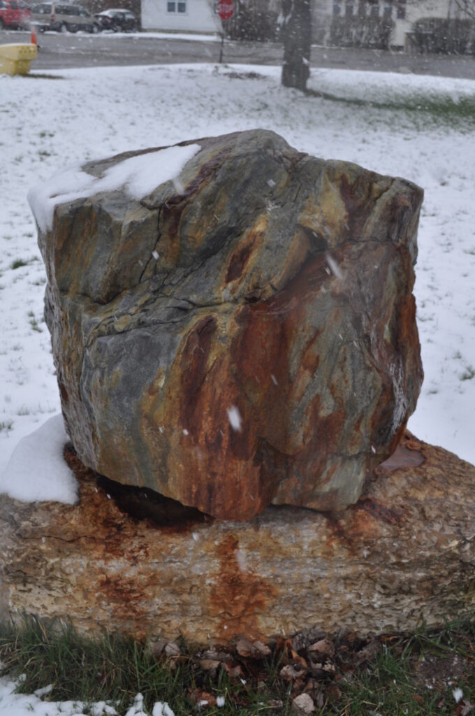
In these examples, the rock is obviously layered … and as you will notice, the layers are folded. The Archean rock, is known as ‘Banded Iron Formation’, of which there can be several types (e.g. several samples from the Sherman and Adams mines at Temagami and Kirkland Lake respectively will be seen later in this tour). This gold-rich iron formation is typical of the Geraldton “Greenstone Belts”, where 10 mines operated along Trans Canada Hwy#11 in the middle of the 1900’s. The gold, which is microscopic and difficult to see, is found within this exhibit. Spots of scheelite (a tungsten source) can also be seen under short wave ultra-violet light (at night). A second sample of this ore is at Exhibit UNGS#19.
Signage sponsored by Laframboise Drilling Inc., Earlton, Ontario
Focus internet research on: Geraldton Gold Camp: Role of Iron Formation – Geology Ontario report 5694 by A.J.Macdonald
MO#1E
All along the Kirkland Lake-Larder Lake belt, and extending well into Quebec towards Val D’Or, there is a gold-bearing zone that follows a fault called the Larder Lake – Cadillac Break. A unique rock ‘type’ that marks this zone is a mixture of white carbonate veins with green fuchsite mica. The Kerr Addison deposit at Virginiatown is a good example of this ‘type’. Here, we have an example from the Armistice property just west of Virginiatown (similar to sample NMO#26).
Signage provided by John Mayman, Haileybury School of Mines Alumnus (Provincial Institute of Mines) 1958.
For Internet history see: Photos of Kerr-Addison Gold Mines, 1947-1948
MO#1F
This sample comes from what was the Owl property of Kinross Mining in the Porcupine camp of Ontario. Once again the gold is microscopic and disseminated through the pyrite mineralisation of the white quartz veins. The host rock is another example of an intermediate volcanic rock-type.
Signage provided by Kinross Gold Mine, Timmins, Ontario.
Internet view: MNDM Geology Ontario 5985: Timmins Ore Deposit
MO#1G
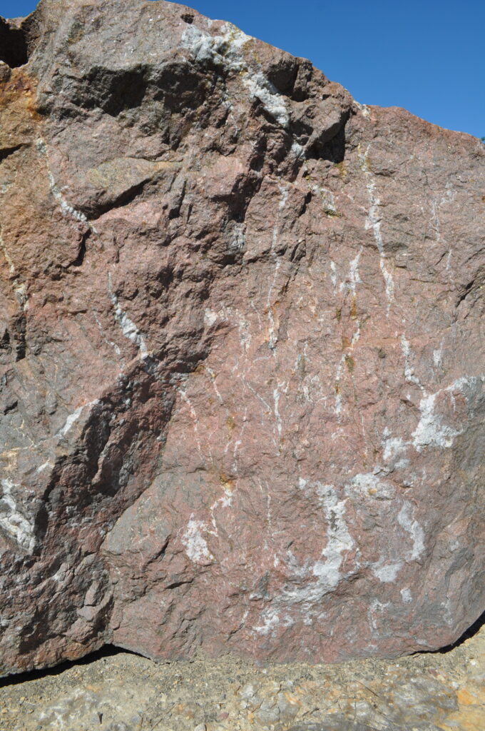
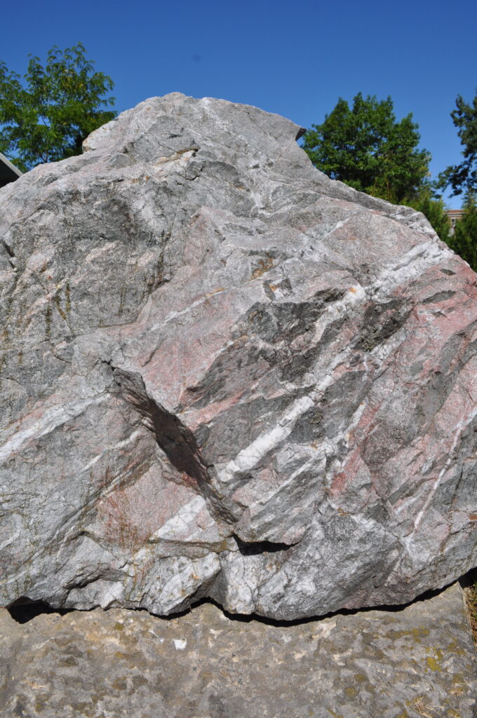
This sample comes from the Matachewan area of Ontario, famous for some unique 20 th century deposits such as the Young-Davidson and Matachewan Consolidated. One of the unique features here is the presence of red-coloured syenite intrusive dykes, with which the gold mineralisation was typically associated. As a result, may of the mine tailings piles which can still be seen around Matachewan are a unique brick red colour. In the 21 st Century, the Young-Davidson ore deposit has been reopened by Alamos Gold, reaching greater depths than ever before.
For internet virtual tour see: Young-Davidson Mine Canada–Alamos Gold
MO#1H
The Canadian Arrow (aka Golden Arrow) property near Ramore, (Hislop Twp.) Ontario was first evaluated in 1935. A small-scale underground “Prospect” with a 429 foot shaft and fairly low grade ran in 1946-47. In the 1980’s ore was mined from an open pit and trucked to Timmins. In 2010, additional exploration was undertaken under the name of Victoria Gold Mines. The host rock is Superior Province (Abitibi) greenschist with pryitic quartz veins/stringers. Gold, copper and lead are present.
Signage sponsored by Alvin Caldwell Sand & Gravel (New Liskeard, ON)
Internet history…seek: MNDM Geology Ontario Canadian Arrow Mine
MO#1I
The Harker-Holloway gold camp is situated along Highway #101, northeast of Kirkland Lake. This sample is from the Holt-McDermott open pit in the American Barrick Gold property. The host rock is of mafic-volcanic origin. (The term ‘MAFIC’ refers to rock that is rich in Magnesium and FerrIC /iron.) A pyrite-albite-quartz alteration has contributed to a general ‘lightening’ of the normal dark colour of madic rocks. The gold is unlike the regional gold bearing quartz vein systems, but associated with the disseminated pyrite, and is assayed at 1.5 oz/ton.
Signage Sponsored by Lake Shore Gold Corp. (Timmins, Ontario)
Internet viewing…seek: MNDM Geology Ontario Holt-McDermott Mine
MO#1J
This is another example from along the Porcupine-Destor Fault Zone (PDFZ) in this case from the Battle Mountain deposit, just north west of the Holt-McDermott Mine. Once again, the gold is associated with pyrite in volcanic tuffs, although in this sample, it tends to be confined to green and tan-coloured seams cutting the syenite, carbonate, and quartz.
See an Internet summery from 2013 at: Mining Life Holloway Mine
MO#1K
There are 15 pieces here, all from the Victoria Creek Deformation Zone (VCDC) east of Kirkland Lake. These samples come from a 1998 low-grade stockpile, created by underground development work that followed 85,000 feet of diamond drilling. The material failed to meet the definition of ‘ORE’ (defined as a mineral that can be ‘mined at a profit’). This was due to low grade, a convoluted geological body of tuffaceous, argillitic, and wacke sediments, as well as low gold prices in the late 1900’s that were an additional negative for the prospect.
Signage sponsored by Laframboise Drilling Inc. (Earlton, Ontario)
Visit internet at: Geology Ontario Victoria Creek Deformation Zone
MO#1L(1)
This gold ore comes from the Hislop pit of St. Andrew’s Goldfields in Taylor Township, near Holtyre. The site is located on the Porcupine-Destor Fault, famed for its mineral resources, primarily Gold. The sample here is volcanic tuff that shows grey and tan-coloured fragments, dark green to black chlorite alteration, and disseminated pyrite throughout.
Signage sponsored by Nor-Arc Steel Fabricators (Earlton, Ontario)
View Internet pictures of a nearby (abandoned) mine, the largest producer in Holtyre- seek: Ross Mine, Hislop Twp., Cochrane District, Ontario
MO#1L(2)
A second low grade gold exhibit of syenite is from the same Hislop property and is dated to the late Archean period, about 2.7 billion years ago. The host rock is metavolcanic rocks with synvolcanic intrusions. Gold is associated with silicified feldspar syenite, and is often present near a quartz-carbonate veinlet. Pyrite can be seen in mineralized fractures.
This sample comes from the Queenston Mines’ McBean pit, of the Kirkland Lake camp. The white veins are carbonate, and it is with these that the microscopic gold grains are found.
Internet recognizes geologist: John Williams “Jack” McBean (1913-1973)
MO#1N
A second sample from the Queenston Mines’ McBean pit shows the white carbonate veinlets again, but also some narrow reddish syenite dykes similar to the examples of MO#1G. Both MO#1M and MO#1N show some traces of the green fuchsite mica that can be common along this gold-bearing belt.
Internet history…seek: Geology Ontario Anoki McBean Mine
MO#1O
These two blocks represent gold ore from the generally low grade Pamour deposit in Timmins. The larger block is typical ore, whereas the smaller one is a higher-grade sample from the same orebody. Both are examples of Pamour conglomerate, which is clast-supported, polymictic, and unsorted. The pebble compositions include mafic volcanic, felsic volcanic, ultramafic, porphyry, chert, and rare occurrences of sulphide pebbles. Individual clasts range from pebble to boulder size. The matrix is dark and muddy. The conglomerate unit is lenticular in shape, which is characteristic of a depositional origin as a submarine fan. It is up to 30 m thick, thinning toward its margins at depth and to the east. Gold is associated with quartz-albite veins and sulphidic alteration haloes. Gold occurs freely in veins and as fracture fillings/inclusions within pyrite. The ore would grade in a range of 3.5 to 4.0 g/t gold (0.10 to 0.12 oz/ton Au).
On Internet, View: Pamour open pit mine – City of Timmins